AirMeshine
Surveillance and aerial vision analysis
A configurable surveillance UAV combining internal AI software, onboard GPU processing and 5G communication.
Technical Specifications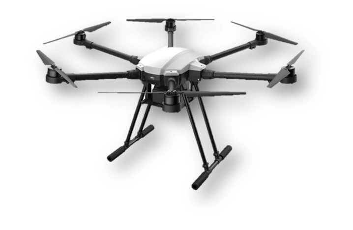
A configurable platform for the mission
Camera, LiDAR and other equipment options adapt the platform to the mission. Internal AI software analyses aerial imagery, while quad and hexa frames support different payload configurations.
- Aerial vision analysis with internal AI software
- GPU-powered edge computing and 5G communication
- RTK GPS precision positioning and fully autonomous flight
Technical Specifications
- Range
- 40 km (maximum)
- Payload
- 10 kg (maximum)
- Flight time
- Approximately 30 minutes
- Camera
- 4K video, 12 MP
- Processing
- Edge computing with an internal GPU
- Communication
- 5G
- Positioning
- RTK GPS; below 1 cm positioning precision
- Equipment options
- Camera, LiDAR and mission-specific equipment
- Frame
- Customizable quad and hexa; 0.8 m
- Material and flight
- Carbon fiber; fully autonomous flight
Range, flight time and payload depend on the selected frame, equipment, load and operating conditions; maximum values are not a guarantee of simultaneous performance in a single mission.