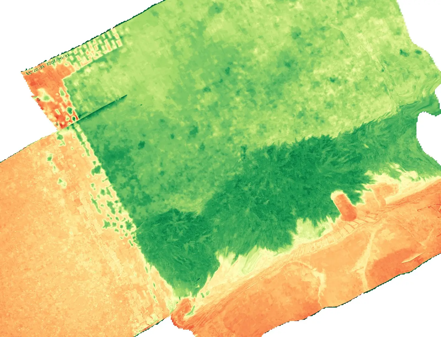
Bring your site into a digital environment with maps and models tied to the project's coordinate system.

Capture extensive areas with planned UAV flights to build an up-to-date data foundation for field operations.

Compare data collected on different dates to monitor site progress and changes in the surface.

Evaluate maps and measurement results alongside your existing geographic information systems.
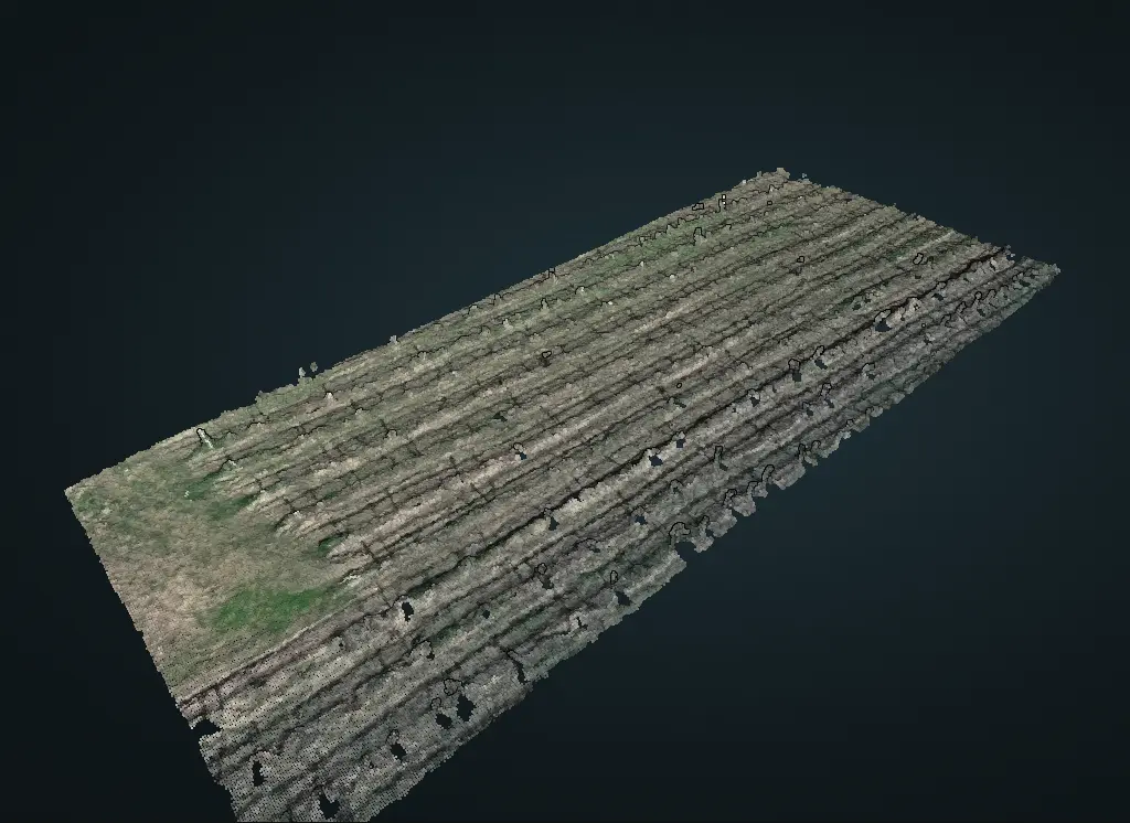
Mapping Deliverables
We combine geometrically corrected aerial images into a single map to provide a base layer for site planning, asset tracking and measurement.
Photogrammetric point clouds and textured 3D models make it possible to inspect terrain, structures and facilities in a digital environment.
Digital surface models (DSM) support elevation and slope analysis. Digital terrain models (DTM) are produced where suitable data and ground classification are available.
We support area, distance and volume measurements, as well as change analysis across survey dates. Delivery formats are agreed to suit your GIS and CAD workflow.
We define site boundaries, intended use, target ground sampling distance (GSD), coordinate system and deliverables together.
Image overlap and flight plans are tailored to the project. Ground control points and independent check measurements are planned where required by the accuracy target.
Images are processed into orthophotos, point clouds and the elevation models included in the project scope. Coverage, data gaps and accuracy against reference measurements are checked.
Delivery options such as GeoTIFF, LAS/LAZ and vector data are agreed at the start. Data is prepared for map layers, measurements and repeat site comparisons.
Resolution and positional accuracy depend on the sensor, flight conditions and reference measurements. Targets are site-specific, not a fixed accuracy guarantee.
Construction progress monitoring, infrastructure and facility inventories, mine and stockpile volume measurements, energy site planning and terrain change analysis.